 Image 1 of 3
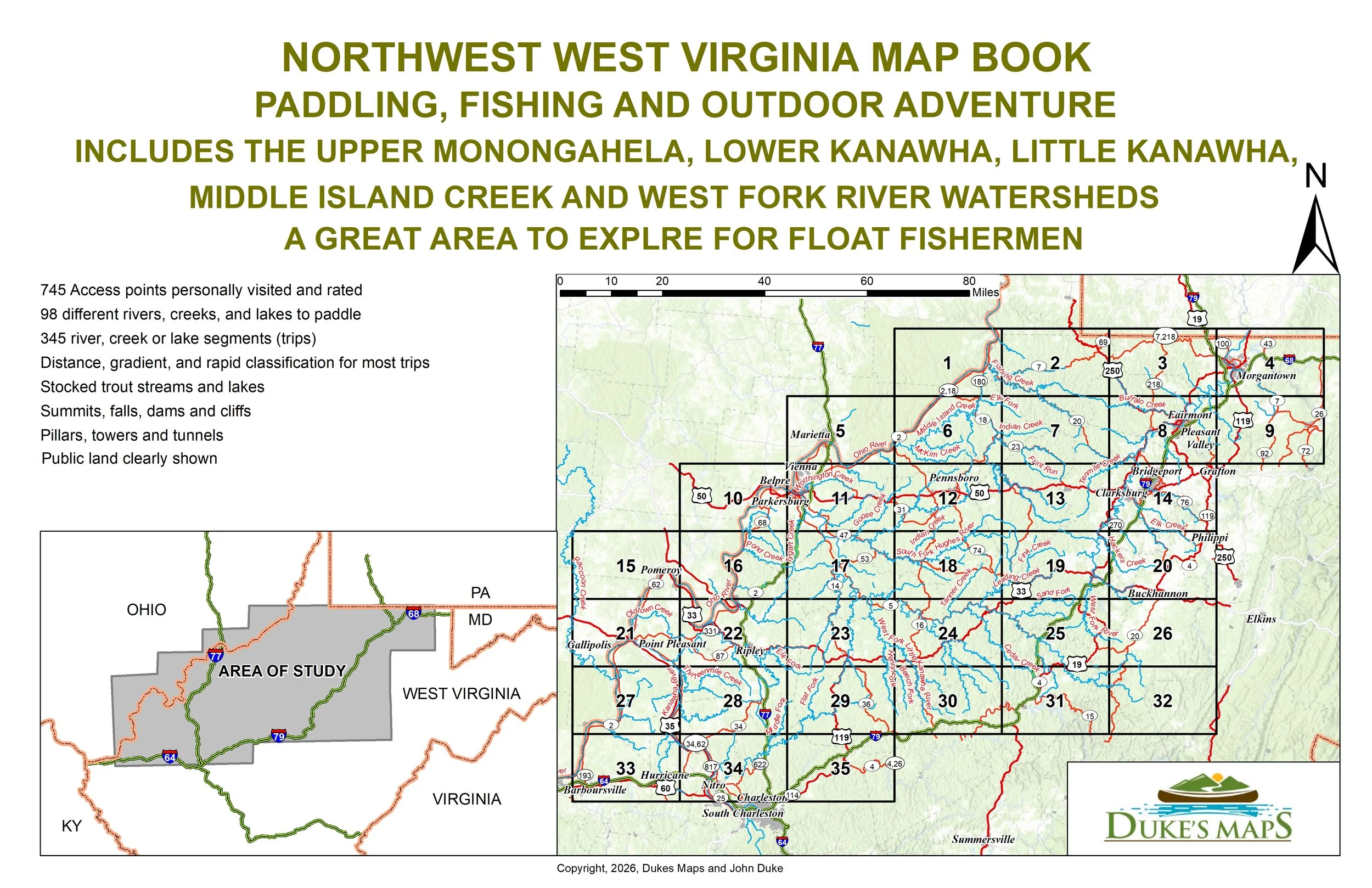 Image 2 of 3
 Image 3 of 3
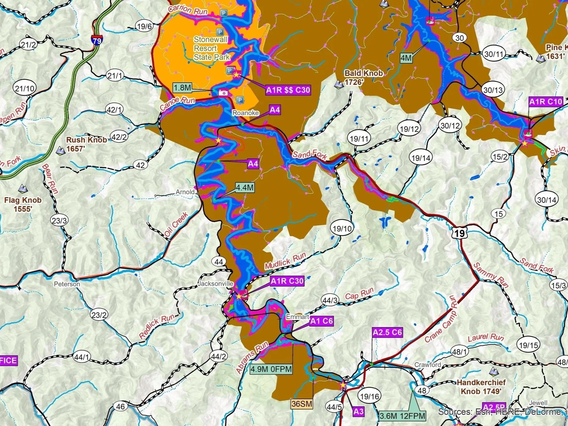
PADDLING, FISHING AND OUTDOOR ADVENTURE! INCLUDES THE UPPER MONONGAHELA, LOWER KANAWHA, LITTLE KANAWHA, MIDDLE ISLAND CREEK AND WEST FORK RIVER WATERSHEDS. A GREAT AREA TO EXPLORE FOR FLOAT FISHERMEN.
Download to your phone or computer and print when needed.
Customers receive a secure link to the file lasting 24 hours after the first download.
35 maps in the 11” X 17” landscape format.
745 Access points personally visited and rated.
98 different rivers, creeks, and lakes to paddle.
345 river, creek or lake segments (trips)
Distance, gradient, and rapid classification for most trips.
Stocked trout streams and lakes.
Summits, falls, dams and cliffs. Pillars, towers and tunnels.
Public land clearly shown.