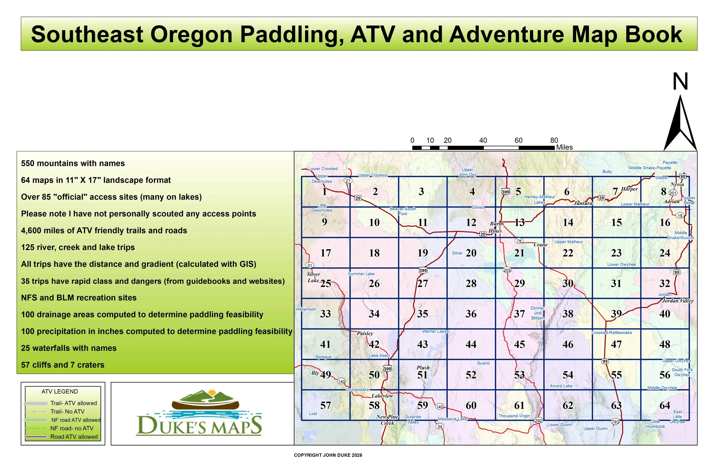
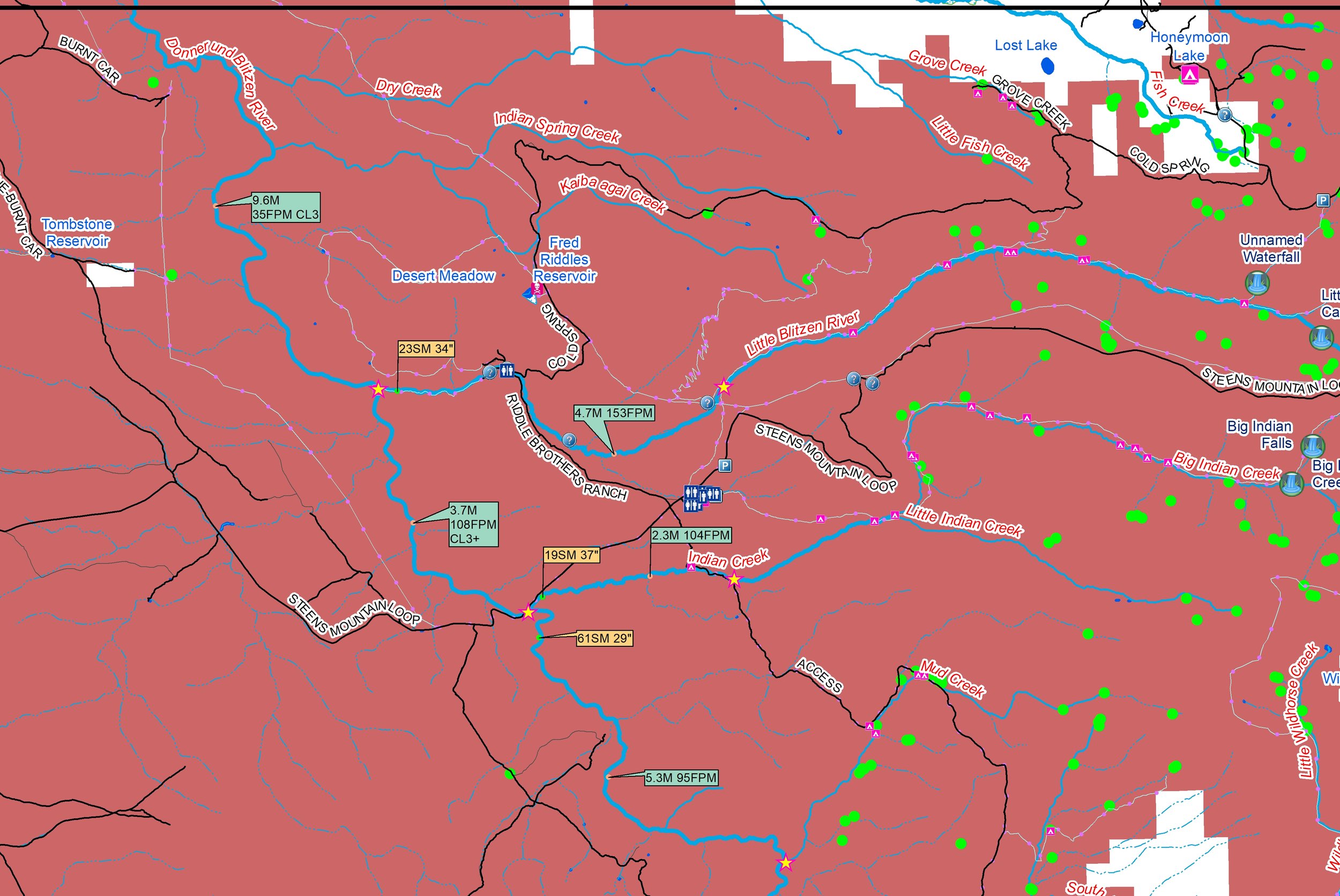
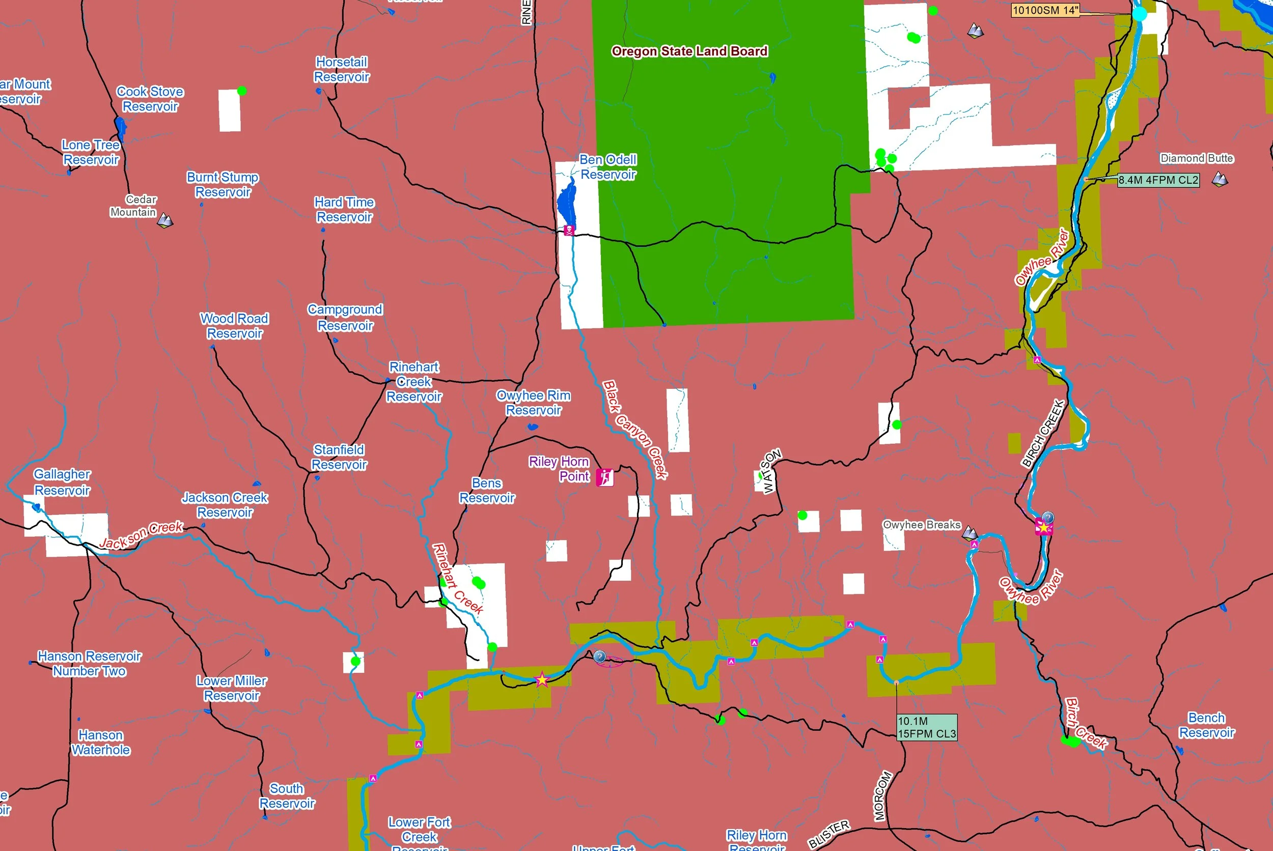
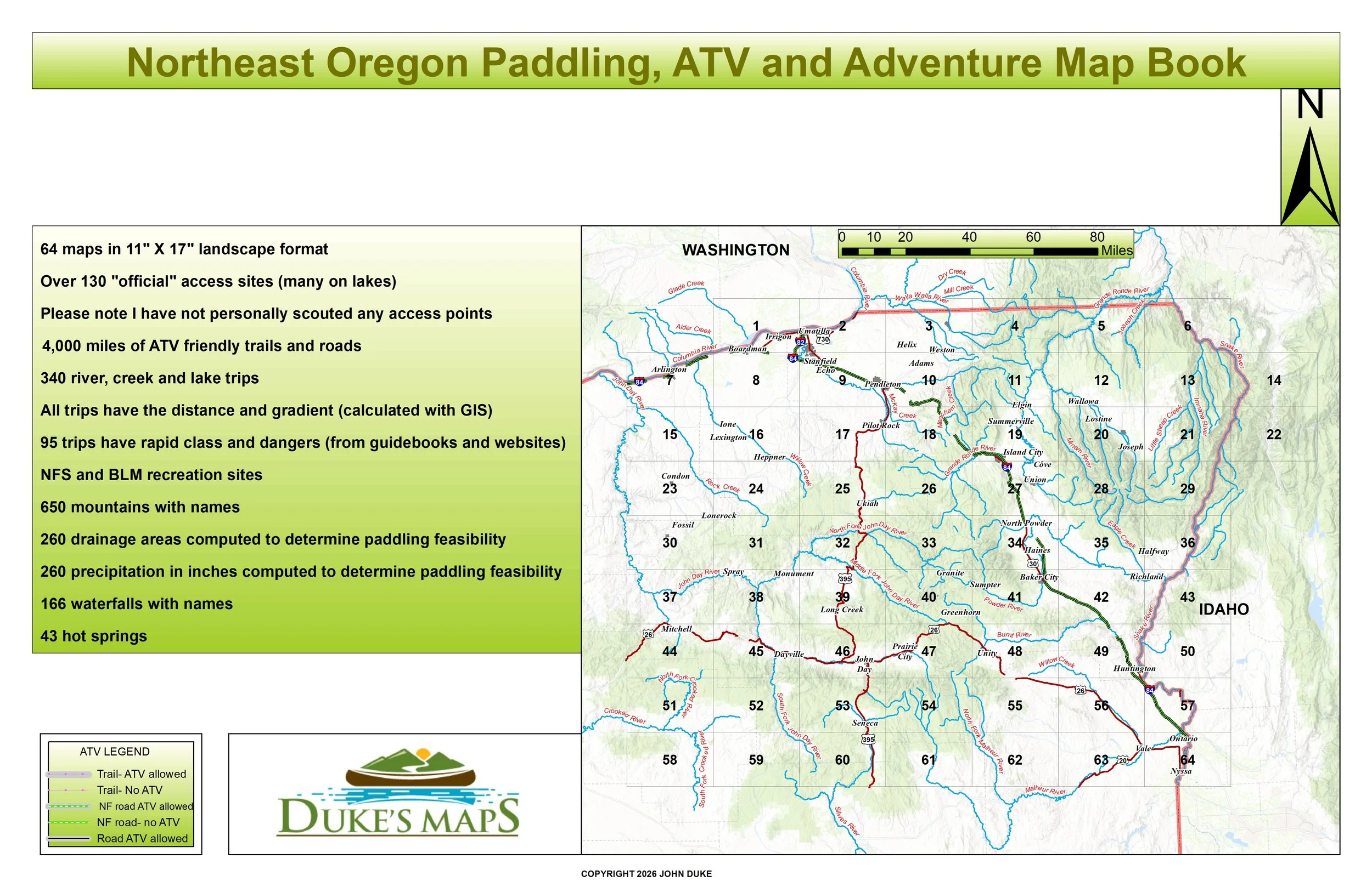
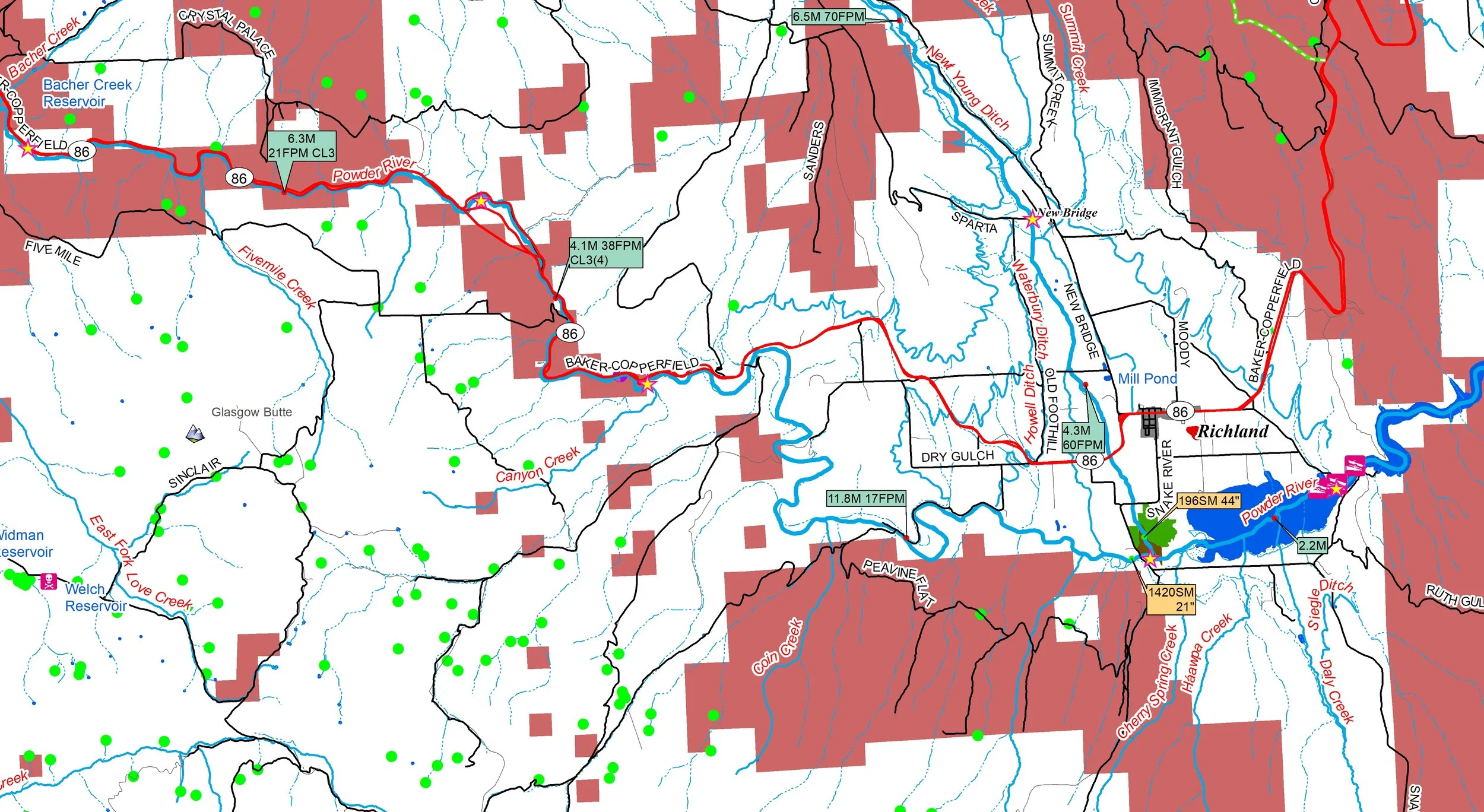
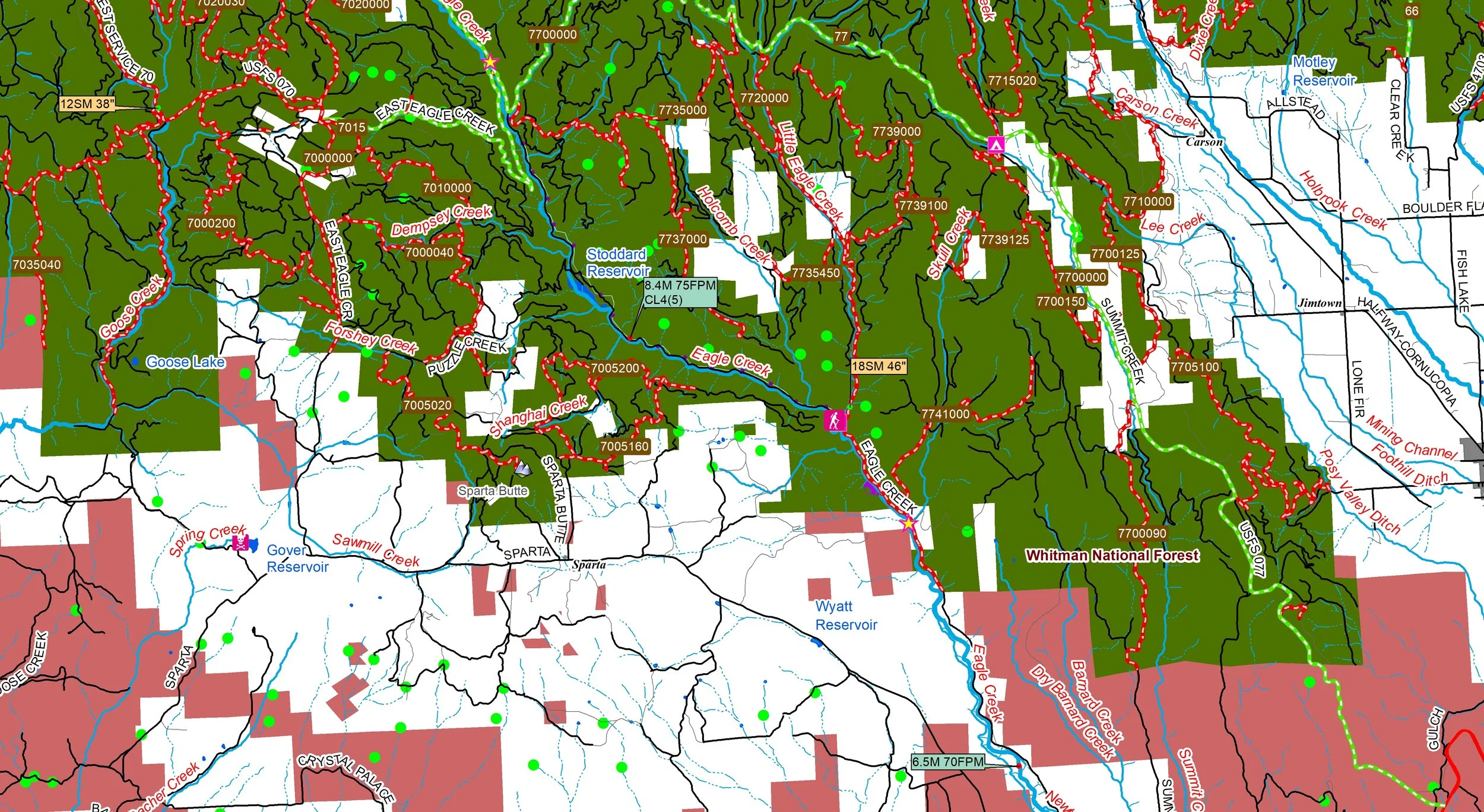
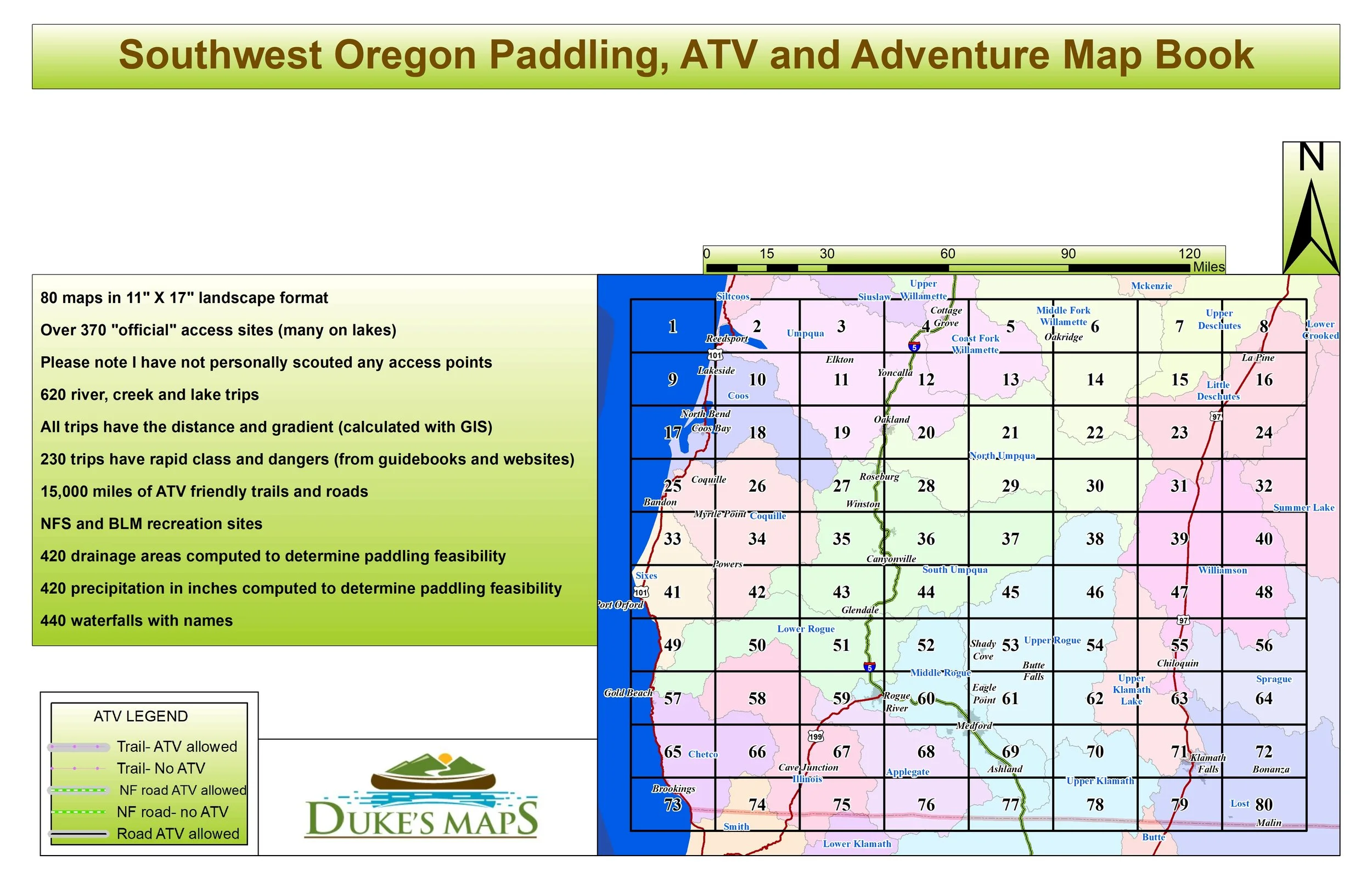
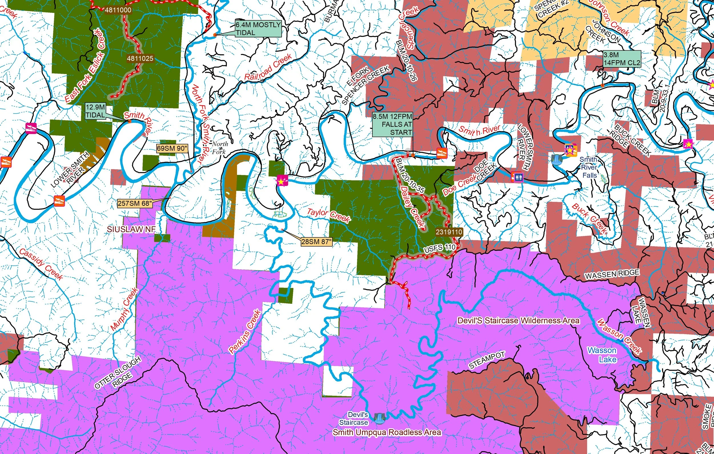
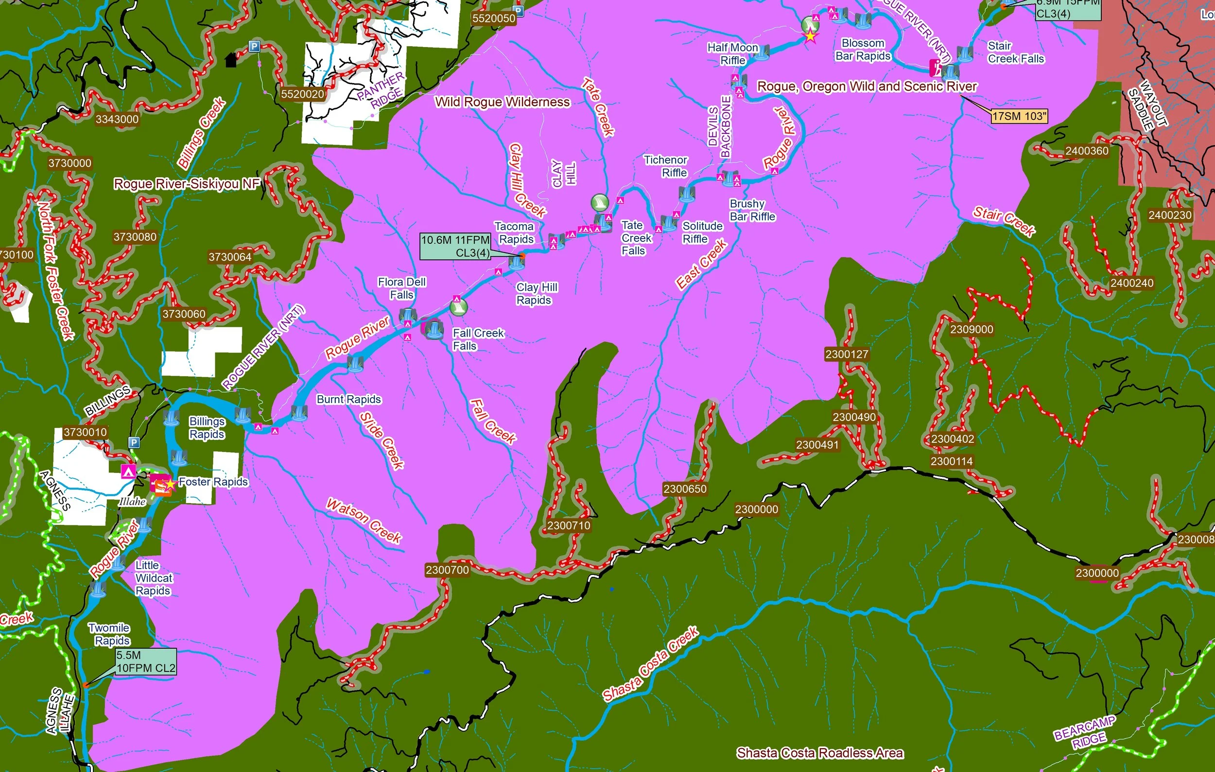
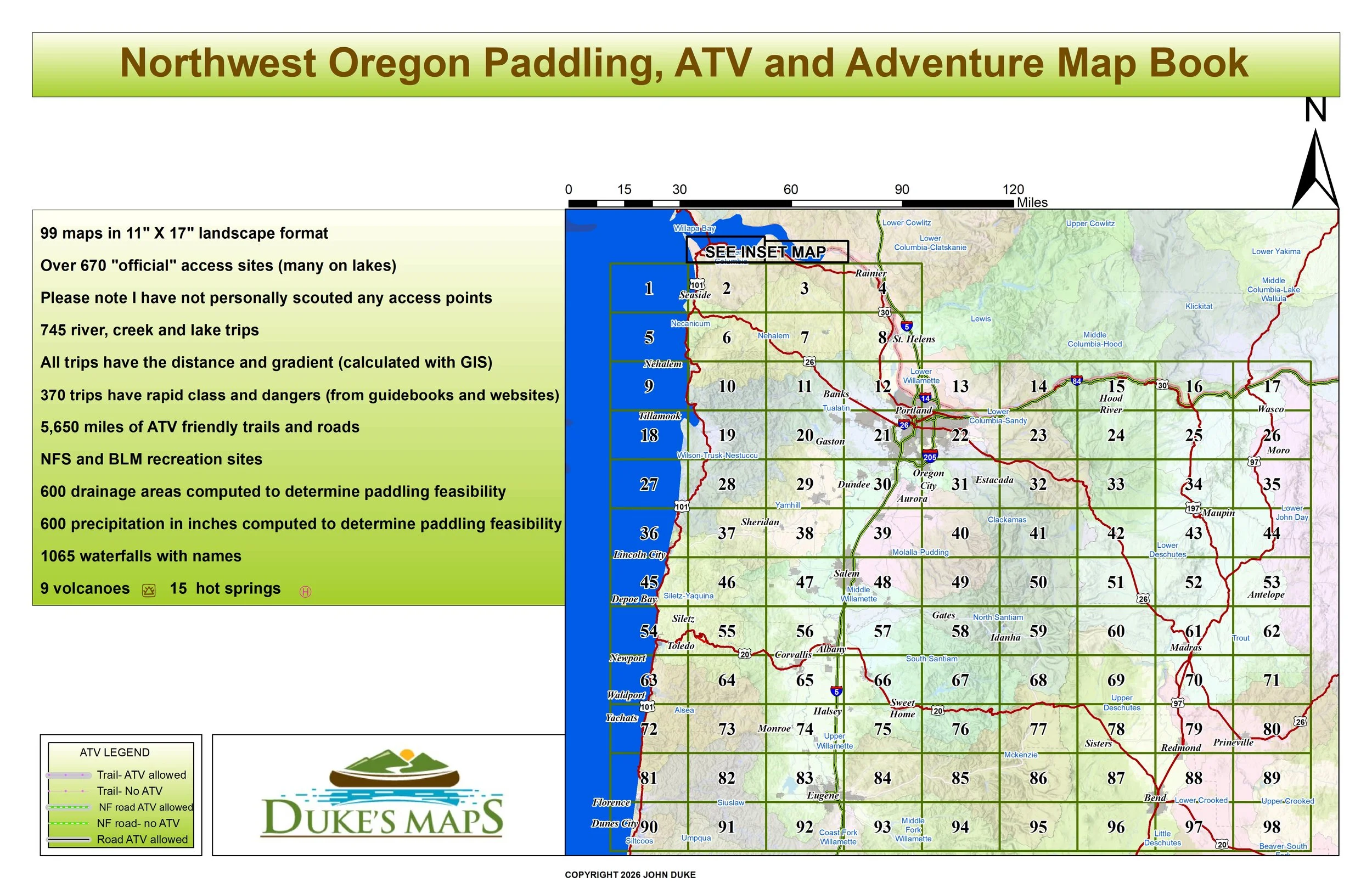
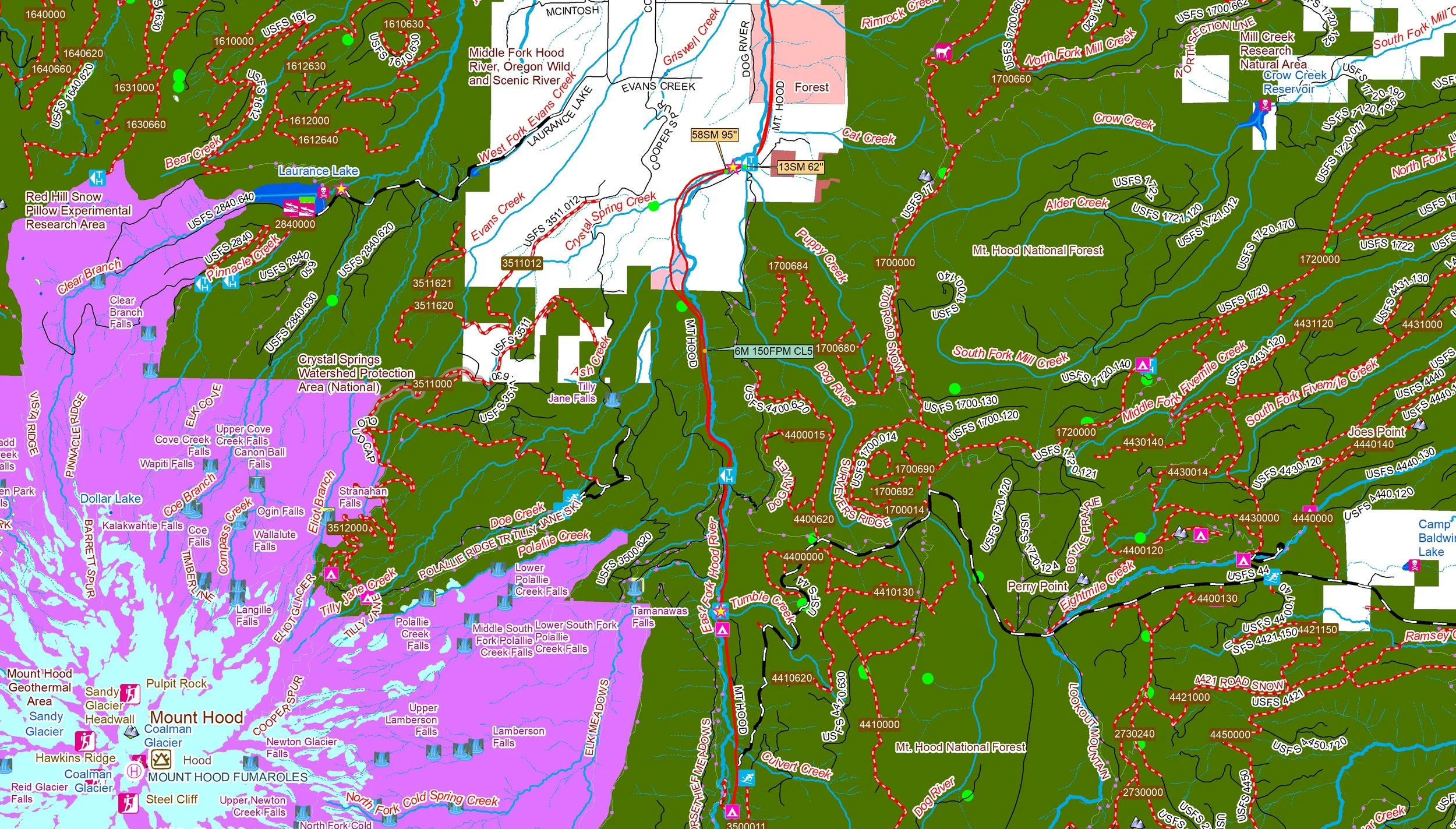
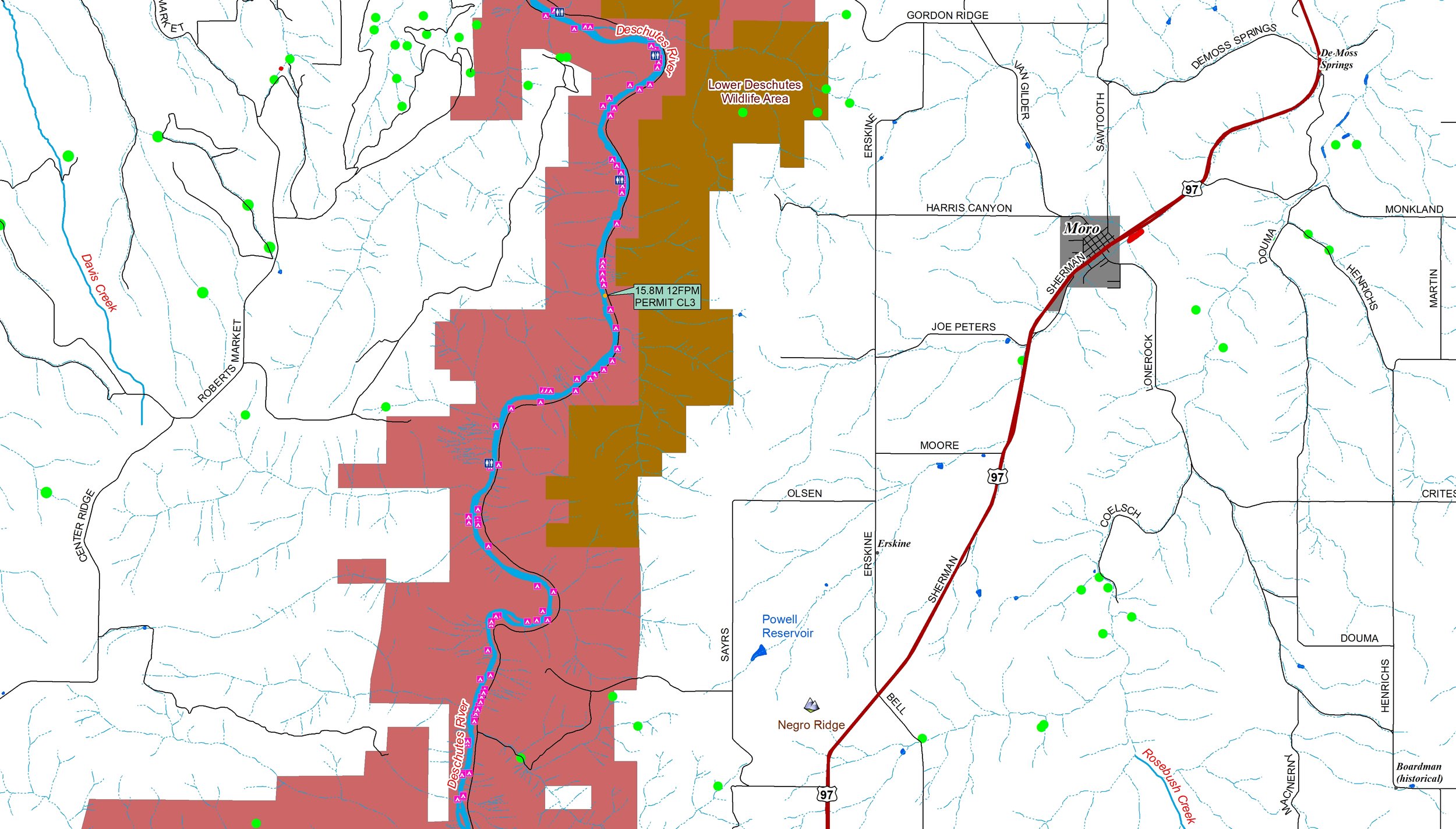
I’ve spent 10 years creating map books—thousands of hours researching guidebooks, government records, websites, and local sources. I’ve been roaming the back roads of Appalachia, personally scouting and rating nearly 20,000 access points. What started as paper maps became hundreds of downloadable, consolidated, printer-friendly map books. These maps contain a wealth of information that cannot be found anywhere else. All are PDFs in 11” X 17” landscape format. Contact me if you’d like printed maps. They would cost 75 cents per page and include a plastic cover, cover sheet, legend sheet and back cover. (only complete map books can be printed)